DIONE
About the Project
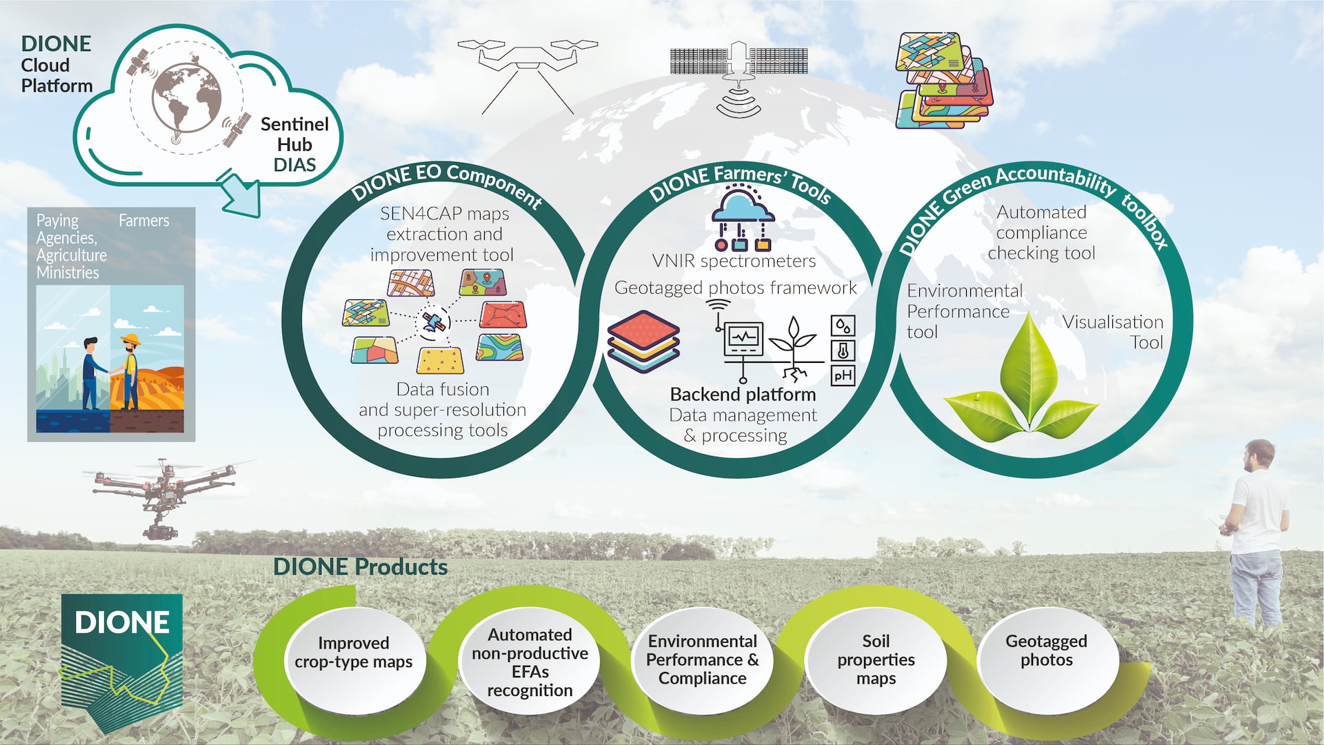
The EU-funded DIONE project offers a unique fusion of innovative technologies that improves the workflow of agricultural monitoring. DIONE project is developing a direct payment controlling toolbox for paying agencies to abide by the modernised CAP (Common Agricultural Policy) regulations, involving novel techniques that will improve the capabilities of satellite technology while integrating various data sources (drones, soil sensors and mobile applications). At the same time a system developed on a regional or national scale will evaluate the monitored parameters to form evidence-based conclusions regarding eventual environmental impacts on an entire region.
DIONE will
Capitalise on recent results of ESA’s SEN4CAP project
that showcased the capability of Sentinel data to monitor the crop diversification rules.
Include in the analysis the so far neglected EFA types
(fallow land of all sizes, buffer strips, hedges, trees), by making use of super-resolution technology that improves the 10-20m Sentinel resolution to an improved resolution range (5-10m).
Complement the use of EO data with a system
of reliable, ground-based geo-tagged photos, captured by the farmers that exploits (a) advances that allow for improved positional accuracy, (b) low-footprint encryption techniques for improved data security and reliability and (c) image detecting manipulation techniques (image forensics).
Implement a Green Compliance toolbox
integrated with the paying agencies’ aforementioned tools.
DIONE Liaisons
Ready to jump in?
Stay up to date with the DIONE latest news
Contact us on email: info@dione-project.eu if you have any questions or would like to share your insights, feedback or opinions.
For any questions regarding this privacy policy, please contact us via email at privacy-policy@lists.dione-project.eu
