DIONE Advisory board meeting May 24th, 2022
July 27, 2022
CAP reform: A strong budget
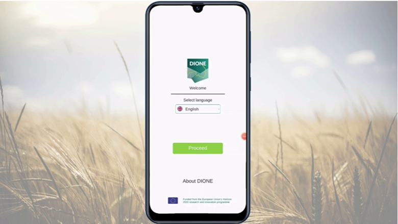
November 21, 2022Demo Presentation of the DIONE's 𝐆𝐞𝐨𝐭𝐚𝐠𝐠𝐞𝐝 𝐏𝐡𝐨𝐭𝐨𝐬 𝐀𝐩𝐩 has been created by ICCS and could be assessed via following link:
The Geotagged Photos App allows farmers to view related content about their parcels, receive notifications about tasks that they need to undertake as well as get Augmented Reality enabled directions regarding the process of capturing appropriately photos of a given parcel.
𝐓𝐡𝐞 𝐤𝐞𝐲 𝐀𝐩𝐩 𝐟𝐞𝐚𝐭𝐮𝐫𝐞𝐬
o Navigation – a farmer is being guided by the application to the parcel location where geotagged photos need to be collected.
o View – a farmer can view in a user-friendly way information about his parcels and tasks (geotagged photos collection) provided by Paying Agency Inspectors
o Data collection - The application guides the farmer in capturing images of the highest quality. The user can see agricultural parcel boundaries superimposed on the screen.
o Offline mode - The user is able to utilize the application even when internet connection is not available.
𝐀 𝐏𝐚𝐲𝐢𝐧𝐠 𝐀𝐠𝐞𝐧𝐜𝐲'𝐬 𝐫𝐞𝐪𝐮𝐢𝐫𝐞𝐦𝐞𝐧𝐭𝐬 𝐚𝐝𝐝𝐫𝐞𝐬𝐬𝐞𝐝:
o Location accuracy
o Detection and prevention of scams/frauds (e.g. GPS Fake Aps or taking pictures of pictures)
Stay tuned and always be informed about DIONE activities and developments by subscribing to our Newsletter!
