Drone Flight Campaign in Cyprus
April 7, 2021
Food for Earth day: Food to Feed the planet Earth
April 21, 2021Farmer’s compliance monitoring tool is a Web GIS application which aims to be a decision support tool for Paying Agencies (Officials, Inspectors) and registered farmers/consultants.
Main goal is to provide an automated rule-based and country-based compliance check. Apart from the main feature, this tool also aims to provide a whole variety of parcel-based and location-based spatio-temporal information such as:
• Sentinel-2 imagery browsing
• Vegetation indices - NDVI and Chlorophyll visualization, including spatio-temporal location-based query
• Markers - Bare soil, mowing, distance, similarity, homogeneity (parcel-based)...
In addition, farmer’s compliance monitoring tool also provides visualization of geo-tagged photos, collected through geo-tagged photos mobile application.
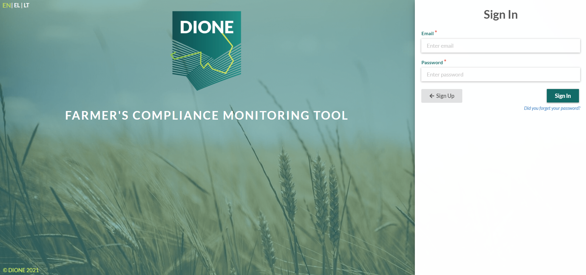
Log In
Dashboard
Main feature
Rule-based and country based compliance engine - Partially implemented.
Common features (features that are in common for each user type)
Authenticated access to the platform and the data - User must be registered to the platform and verified in the corresponding Paying Agency in order to be able to have access to the data.
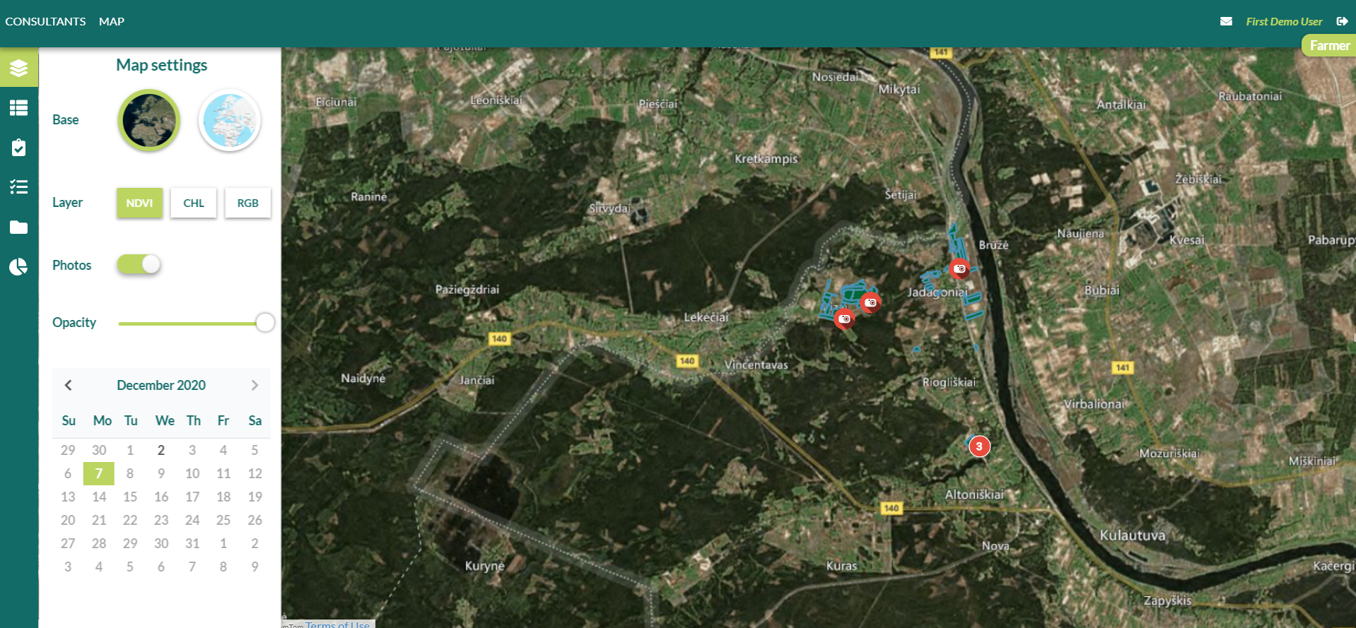
Map view - Users are able to see parcel boundaries on the map, spatio-temporal sentinel products (including browsing by available dates) and geo-tagged photos collected by geo-tagged photos mobile application.
Profile management - Users are able to edit personal and account information
Location query - spatio-temporal location query for vegetation indices
Parcel query - spatio-temporal parcel query for markers
User-specific features:
Farmer - Farmer is able to assign consultants to serve as middleware between the farmer and the Paying Agency. By assigning a consultant, farmer automatically gives data access rights to the consultant and is able to revoke those rights at any time
Inspector - Inspector is able to request action (request geo-tagged photo as additional information) from the farmer. Also the inspector is able to access the data of all the farmers assigned to him/her.
Agronomy Consultant - Consultants can only be assigned by farmers. Once assigned, they are able to access farmer’s data. Also, consultants are able to cancel consulting services at any time.
PA Official - Not yet implemented.


